Do You Have A Survey and Mapping Project We Can Help With?
About Us
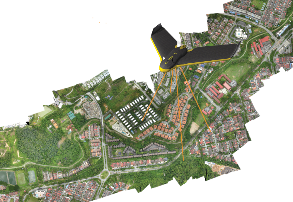
IGS Consultant is a Licensed Land Surveying firm specialising in the collection, analysis and delivery of geospatial data. With a combined experience of over 45 years in the land survey industry, we offer complete survey solutions for our clients.
We capture geospatial data for private and government sectors. Our licensed land surveyors and experienced technical staff are able to provide surveying solutions to any survey requirements from topographical survey for civil and planning design purposes to cadastral survey for land title registration purposes.
Our complete survey solutions will fulfil the requirements of our clients. Our depth of resources provides the flexibility to adapt our methods to specific project needs. We then help our clients to achieve the project aims and goals.

Meet Our Team
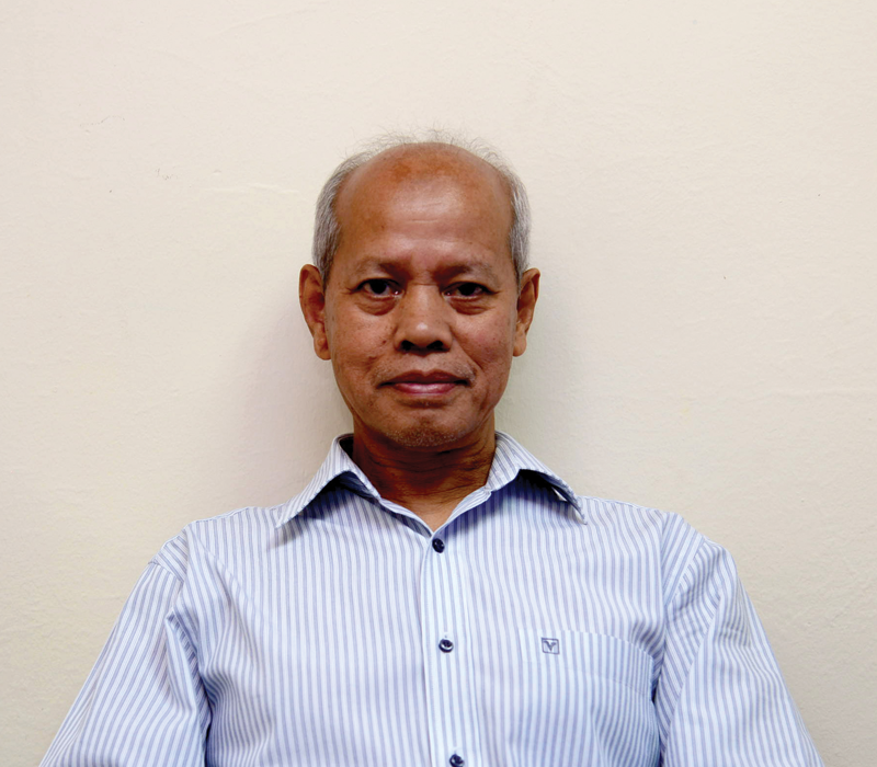
IGS Consultant is a staff of 14 members with a Licensed Land Surveyor registered with The Land Surveyors Board, Peninsular Malaysia and 10 professional surveyors registered with the Royal Institution of Chartered Surveyors Malaysia (RISM).
Get A Quote Today
Please fill in the form below and we’ll get in touch with you.


