Project Description
Do You Have A Survey and Mapping Project We Can Help With?
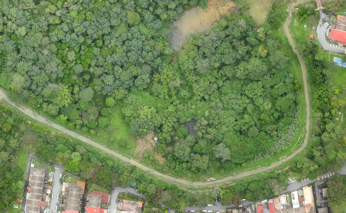
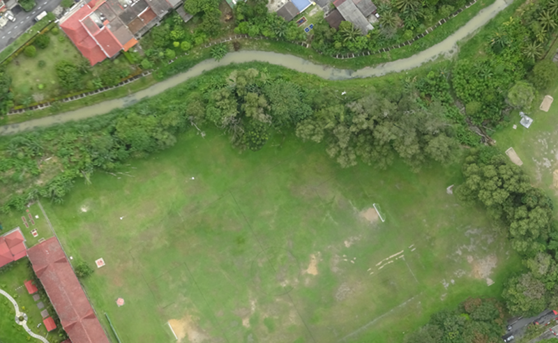
Sungai Klang, Selangor
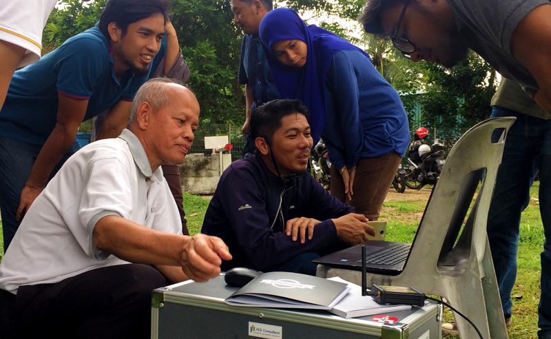
IGS Consultant were appointed by the client in 2017 to provide mapping and GIS services. The survey corridor involved Sungai Klang in Selangor measuring 88 kilometres long with a survey corridor of 100 metres.
The drone aerial mapping were carried out using a fixed wing UAV which took one week to complete. The survey team set the aerial image resolution at 8 cm per pixel ground resolution. This resolution ensured that a high quality orthomosaic can be produced and reducing the total image size. The front overlap were set at 85% and the side overlap is set at 75% which resulted in a total of 3267 images being captured for this project.
For this project, the survey team had setup 37 ground control point (GCP) to ensure the high accuracy of the orthomosaic. The survey team flew the drone covering an area of 2,175 acres which took 35 flights to complete. Each flights took an average of 25 minutes flying time. Each flight’s images took about three hours to process.
Project Details
YEAR
2017
CLIENT
Lembaga Urus Air Selangor
PROJECT TYPE
Drone Aerial Mapping
Project Gallery
Get A Quote Today
Please fill in the form below and we’ll get in touch with you.